01
Living models of a real place
Modelled, not drawn.
Every operation answers to the forces of its place: the rock and soil beneath it, the water moving through it, the air and climate around it, the sun above it. These forces weigh more on a decision than any plan.
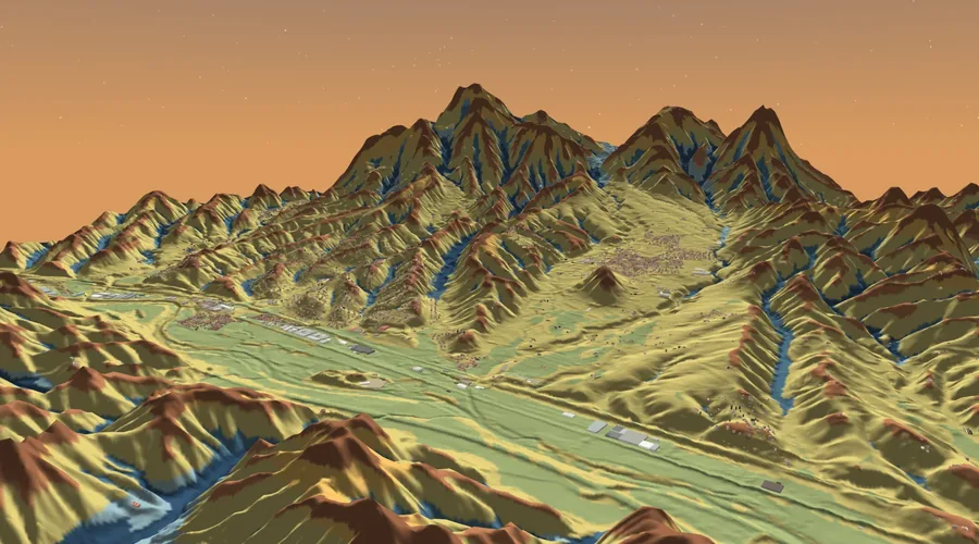
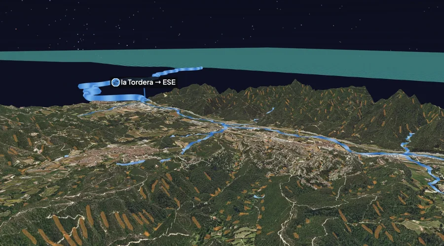
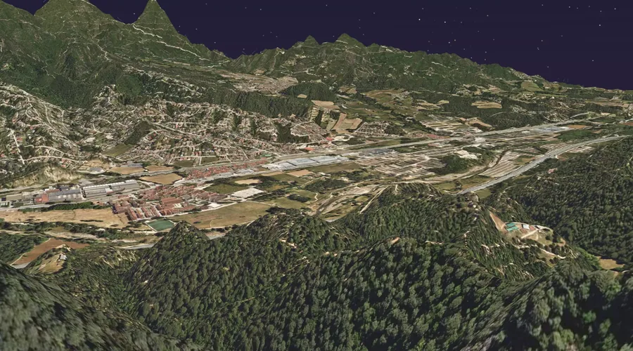
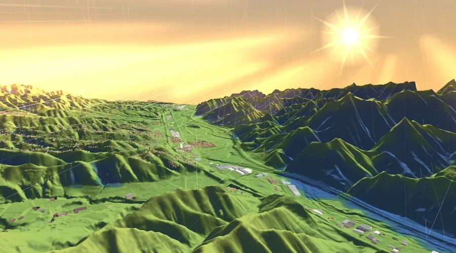
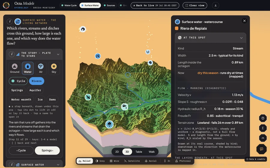
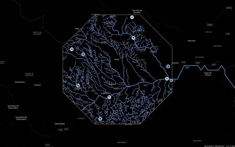
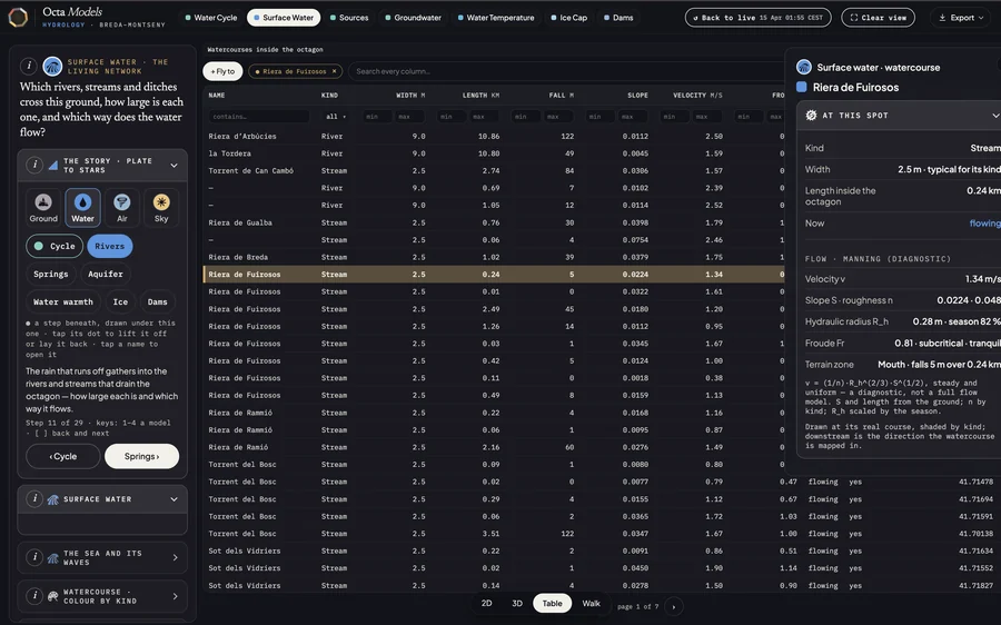
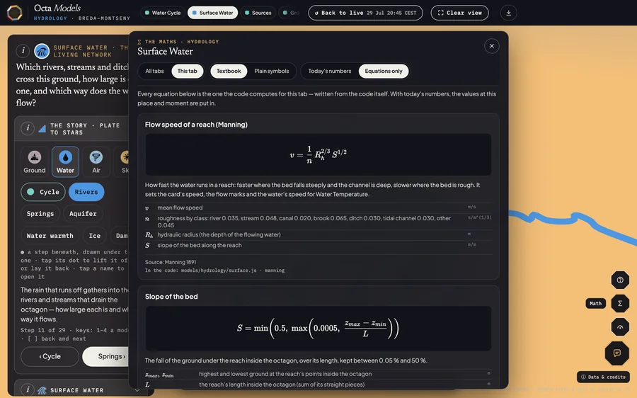
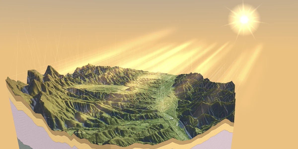
Octa Models builds a living model of one octagon of ground, from the authorities' own data, to the half metre where the country has mapped it by LiDAR, and opens it in 2D and 3D, one plain question per tab. Every value names its source. Where none exists, you see a dash, not a guess.